Brochure 2018 (click images to enlarge)
(for physical copies of this brochure please contact us.)

Watershed Brochure Outside1sm (pdf)

Brooklyn Creek Brochure FINAL 1.9.2018 (1) (pdf)
Maps
(Click images to enlarge)
- Aerial views: Comox Bay entrance to headwaters in Crown Isle area.
- Maps: Greenway, Habitat Surveys, and Storm Drainage.
- Photos: Jurisdictions, aerial view, and Watershed.
1. Aerial Views (in .jpg)

1-Comox-Bay-Balmoral-Ave

2-Balmoral-Ave-Noel-Ave

3-Dogwood-Ave-Salish-Park

4-Noel-Ave-Pritchard-Rd-AREA

5-Noel-Ave-Guthrie-Rd

6-Guthrie-Rd-Idiens-Way
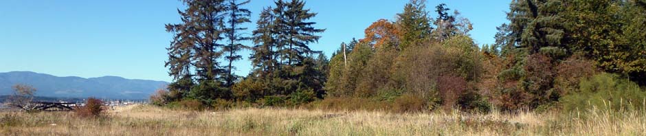
7-Idiens-Way-Ryan-Rd (Crown Isle AREA)
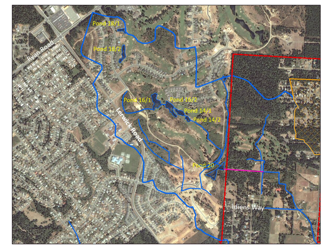
2. Maps showing Greenway, Habitat Surveys, and Storm Drainage (in PDF)
 Greenway Map (PDF)
 Habitat Surveys 2000 Lower Area (Ocean to above Guthrie Road) (PDF)
 Habitat Surveys 2000 Upper Area (above Guthrie Road to Source) (PDF)
 Comox Storm Drain Map 2009 (PDF)
(All above maps in PDF format)
3. Photos showing Jurisdictions, aerial view, and Watershed (in .jpg)

Photo shows three jurisdictions of government.

Aerial photo view of Brooklyn Creek photo

Image of Brooklyn Creek Watershed area